
Arnsbarrow Hill
Height 1056 feet/322metres
Grid Reference SD 311 911
Area
Birkett - Southern Fells, Outlying Eastern Tops - Top No. 519
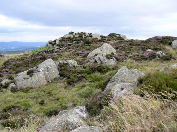
Arnsbarrow Hill's summit.
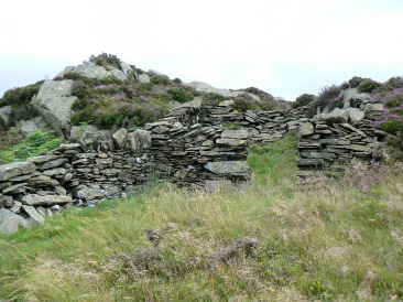
The shelter just below Arnsbarrow Hill's summit.
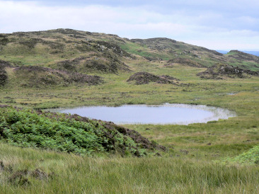
Arnsbarrow Tarn with Arnsbarrow Hill behind.
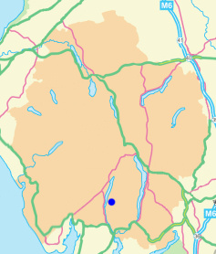
Nibthwaite N.T. car park - High Nibthwaite - Low Light Haw (OF) - High Light Haw (OF) - Stang Hill (173) - Arnsbarrow Hill (174) - Top o' Selside (175) - Nibthwaite N.T. car park
All pictures copyright © Peak Walker 2021
©Crown copyright. All rights reserved. Licence number 100045184.